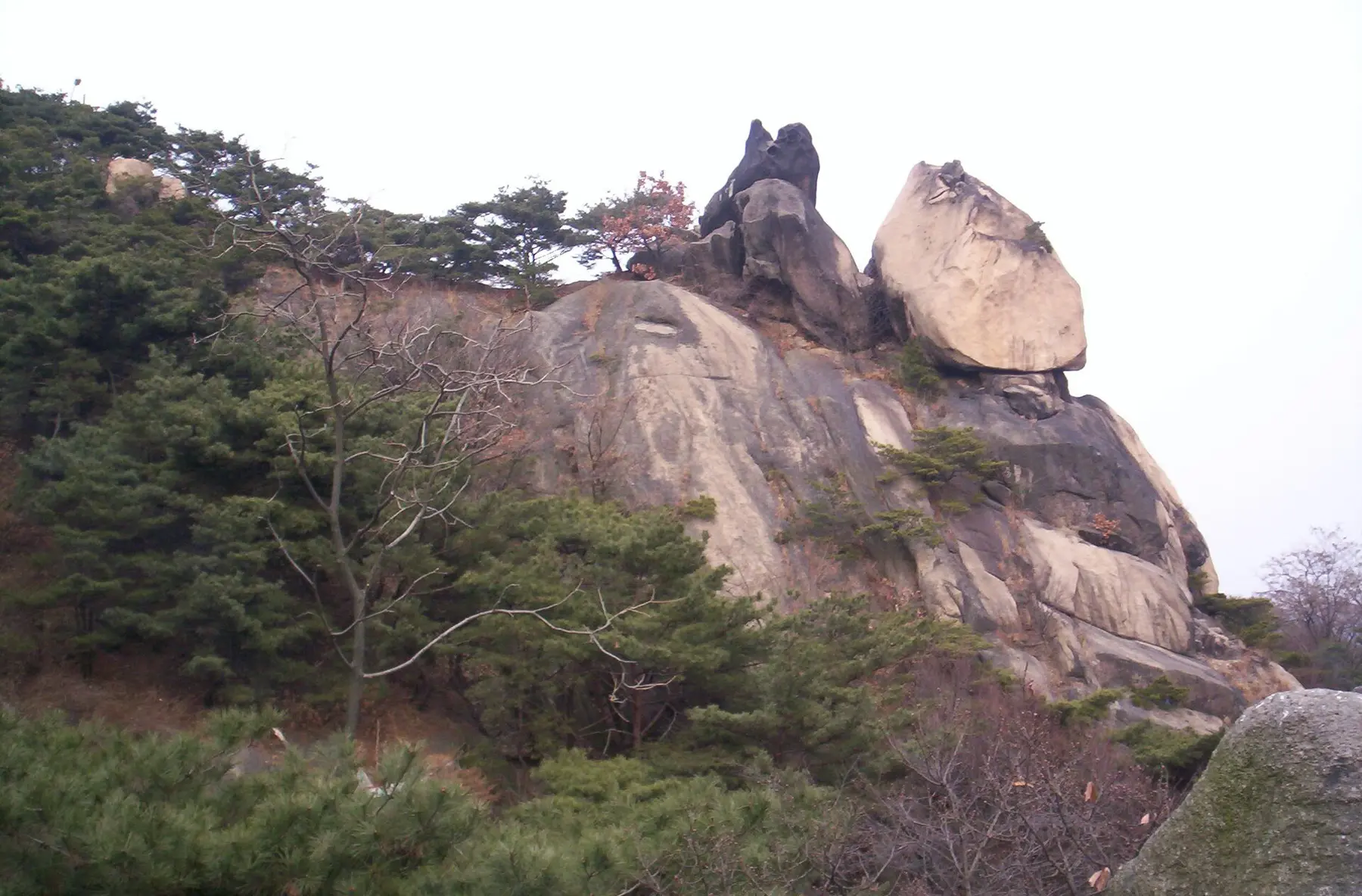
Seoul skyline seen from the rocky slope of Inwangsan Mountain
Photo by David McIlwain · CC BY-SA 3.0

01 · The quick take · Seoul

A Slow Saturday in Seochon and Inwangsan

LocationSeoul
Trip lengthAbout 5–6 hours
Estimated steps6k–10k stepsTo the valley and back

Follow Seochon's lanes toward a market lunch and the valley's softer pace. At Suseongdong, decide whether the afternoon needs a mountain view or another unhurried pause.

For lane wanderersSeochon's quiet streets
For market grazersLunch around Tongin
For hill seekersInwangsan climb optional
For slow SaturdaysAn easy 5–6 hours
Tell me moreThe fuller guide · 12 min readHide the fuller guideReturn to the quick take

02 · The guide

The fuller picture.

In Seochon, a lunch counter and a granite mountain belong to the same afternoon. West of Gyeongbokgung, the streets narrow into residential lanes before opening toward Suseongdong Valley and Inwangsan. Follow that change of pace. You can stop at the valley or continue uphill; a good day here does not need a summit to justify it.

01

Begin west of the palace

Take Gyeongbokgung Station Exit 2 and turn north into Seochon; today, the streets west of the palace get the first look. The neighborhood has long associations with writers and artists, but it is also a lived-in district. Let the route form around small streets, workshops, and the changing view of Inwangsan instead of hunting only for famous storefronts.

If you want historical structure, use the Seoul guided-walking route or official map as a spine. On a busy Saturday, step away from the main commercial lane after coffee; one block can make the difference between a queue and a quiet courtyard.

02

Eat before the climb

Give lunch a little space around the rush: aim for 11:30 or after 1:30. Seochon’s small restaurants often have limited seating, and the most photographed places are not necessarily the most useful. Choose by what will support the walk: a soup-and-rice meal, noodles, or a simple set menu is easier than a heavy café crawl.

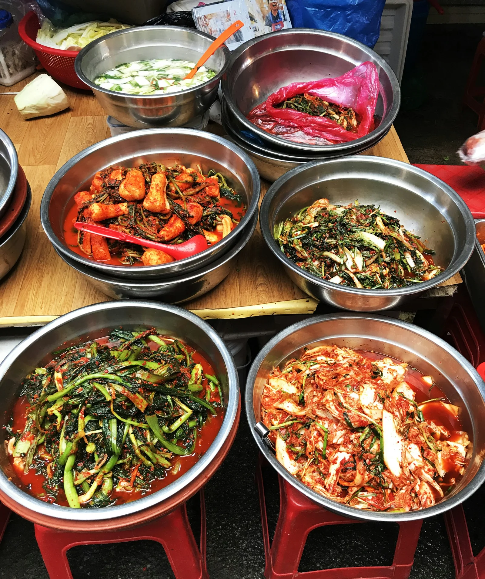
Browse Tongin Market if it fits naturally, but do not build the whole day around one viral snack. The better food strategy is one proper meal, water for the hill, and a café stop after the descent.

03

Follow the valley toward the mountain

Follow the streets toward Suseongdong Valley, where water and stone make the mountain feel suddenly close to central Seoul. This is a good turnaround point for travelers who want atmosphere without a real hike. Pause here, then decide whether the weather, light, and your shoes justify going higher.

Navigation can feel less obvious where residential lanes meet trail access. Use the official hiking map or Naver Map, and avoid following unmarked shortcuts through private-looking alleys.

04

Choose the view, not the summit

At 338.2 meters, the height sounds modest, but Inwangsan's exposed granite and steep steps demand more care than a city-park stroll. A complete hike is often described as roughly two hours, though photo stops and weekend traffic add time. The lower viewpoints already reveal the palace axis, Namsan, and the dense city below.

Turn back at the first satisfying panorama if surfaces are wet, the wind rises, or daylight is fading. Parts of the route have exposed rock and limited shade. The best version of this day ends with energy left for dinner.

05

Descend into an unplanned evening

Let the walk end with tea, a small bar or dinner back in Seochon, or continue east if your evening belongs in Jongno. Do not schedule a fixed reservation too close to the hike; even a short route expands when the light is good.

This itinerary works on a weekday too and will feel calmer. On weekends, start early, yield on narrow paths, and remember that residents still need access to their doors and parking spaces.

Check before you go

Official links and live information

Details last checked September 25, 2026. Entry rules, schedules, prices, transport coverage, and operating hours can change, so verify time-sensitive details before committing time or money.
Go deeperThe complete, copyable planHide the detailed planReturn to the fuller guide

The deep dive · About 5–6 hours

Seochon to Inwangsan: A Walk You Can Follow

Follow the change in scenery from Seochon's small streets to a lunch counter and the stones of Suseongdong Valley. That is a satisfying finish on its own; Inwangsan is an optional uphill extension. Start early on weekends and keep your voice down near homes.

StartGyeongbokgung Station Exit 2
FinishSeochon or Gyeongbokgung Station
AllowAbout 5–6 hours
Estimated steps6,000–10,000 stepsTo the valley and back

Planning estimate for the suggested walking sections, not a tracked route. The optional Inwangsan climb adds more walking and steeper ground.

Before you leave

Set up the day.

  • Save Gyeongbokgung Station Exit 2, Tongin Market, and Suseongdong Valley in that order. For the optional climb, follow marked trail signs from the valley rather than a generic mountain map pin.
  • Wear shoes with traction, bring water and a layer, and avoid exposed rock during rain, ice, strong wind, or poor visibility.
  • Check Tongin Market's current individual vendor hours and any lunchbox program on the day; stalls can be closed even when the market itself is open.

Follow the route

Your plan, in order.

Times are suggested planning anchors. Copy the route, then adjust it for your date, opening hours, and pace.

  1. 09:30
    01

    Gyeongbokgung Station Exit 2

    Map search: 경복궁역 2번 출구

    Leave Line 3 toward Seochon, with the palace to your east and the smaller streets ahead. Orient yourself on Jahamun-ro, then take smaller parallel streets rather than staying on the traffic artery. Photograph buildings from the public street and leave residential doorways clear.

  2. 10:00
    02

    Seochon backstreets

    Walk north through the low-rise blocks around Tongin-dong and Ogin-dong. Stop at a workshop or gallery that is actually open; give yourself at least 45 minutes for looking, not only moving. These are ordinary neighborhood streets, so avoid loud group photography.

  3. 11:15
    03

    Tongin Market

    Map search: 통인시장

    Browse the shops before lunch. If the brass-coin lunchbox program is operating and the queue is modest, try it; otherwise order one full meal at an open market stall or a nearby soup, noodles, or set-meal restaurant. Do not count on one particular vendor being open.

  4. 12:30
    04

    Suseongdong Valley

    Map search: 수성동계곡

    Follow the route from the market uphill toward Suseongdong Valley. Sit by the stream and look back toward the city. This is your planned turnaround point if your group wants a leisurely day, the path is wet, or the forecast is deteriorating.

  5. 13:15
    05

    Inwangsan lower viewpoint (optional)

    If conditions are dry and everyone has appropriate shoes, follow the marked trail toward an early viewpoint. Decide on a turnaround time before climbing. The mountain has steeper steps and exposed granite; the 338.2 m summit is unnecessary for a fine city view.

  6. 14:30
    06

    Descent and café

    Descend by a marked route and return toward Seochon for coffee or tea. Avoid shortcuts through private alleys. If you skipped the climb, use the extra hour for a museum or an unhurried walk back toward the palace wall.

  7. 15:30
    07

    Gyeongbokgung Station or Jongno dinner

    Finish near the station or continue east for an early dinner around Jongno. A fixed dinner booking immediately after a hike is fragile; keep the evening open until you know your actual pace and weather.

Make it your trip

Useful changes.

  • No hiking: turn around at the valley and spend the remaining time in galleries and cafés.
  • Hot or rainy day: start at 08:30, shorten the uphill part, and shelter indoors during the warmest or wettest hours.
  • Gyeongbokgung Palace can be added on another morning; it is closed on Tuesdays under the current Visit Seoul listing.

Sources checked September 25, 2026

Verify before you go

Schedules, admission, train availability, restaurant hours, and weather can change. The sources below are the starting points for final checks. Route times are editorial estimates.