
Beyond Seoul · Deep dive
Osaek to Daecheongbong: The Full Summit-Day Plan
An experienced-hiker schedule with official park checks, a defined turnaround and the same-trail descent to Osaek.
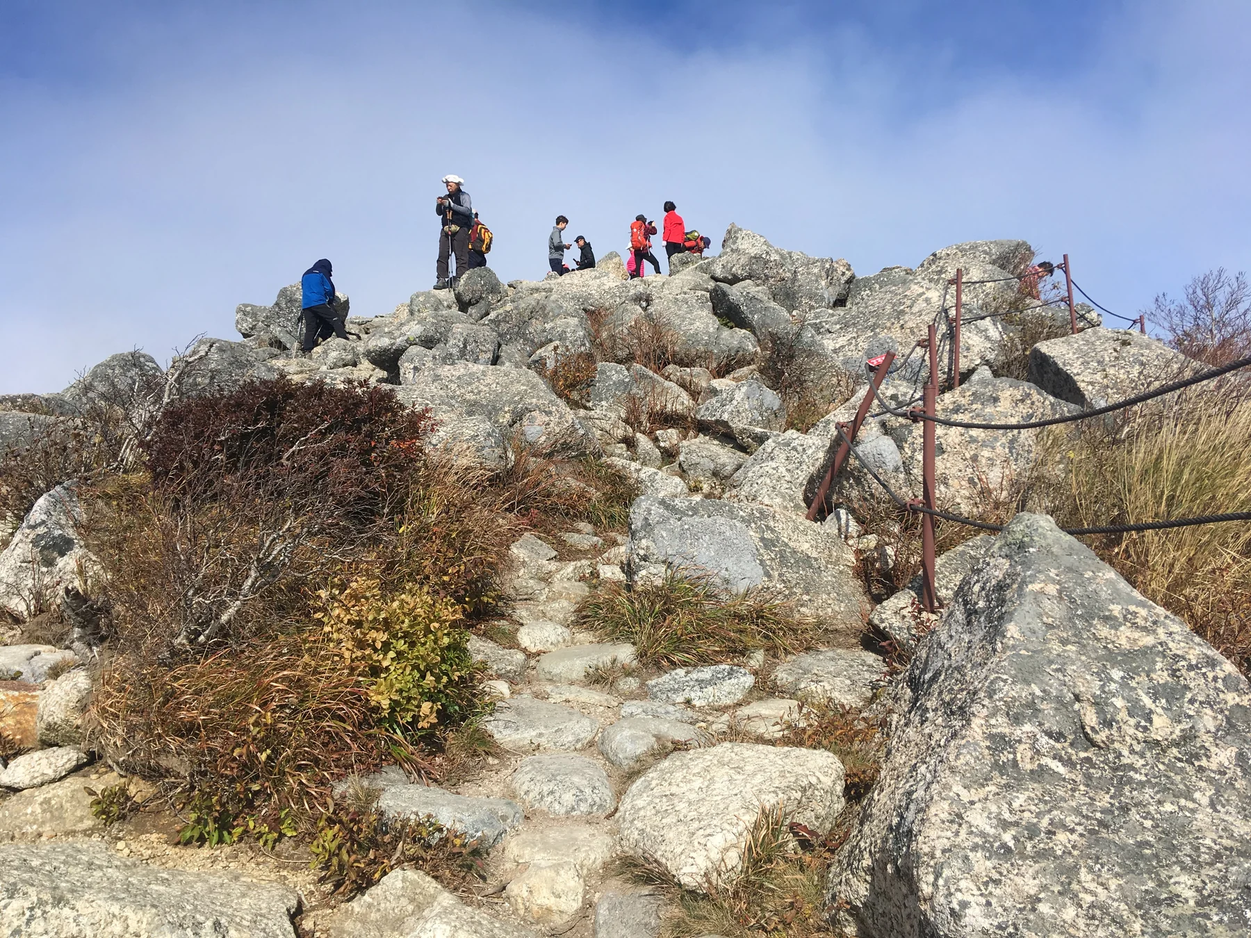
Prepare the return before the climb: sleep near Osaek, check legal access twice and attempt the signed summit route only if conditions and pace permit. This schedule assumes a legally permitted early-morning entry and enough daylight for a cautious descent. Shift its times to your season and posted entry window; never use these clock times to override a park notice.
Planning estimate for the suggested walking sections, not a tracked route. Mountain steps vary widely with stride, trail condition and whether you turn back early.
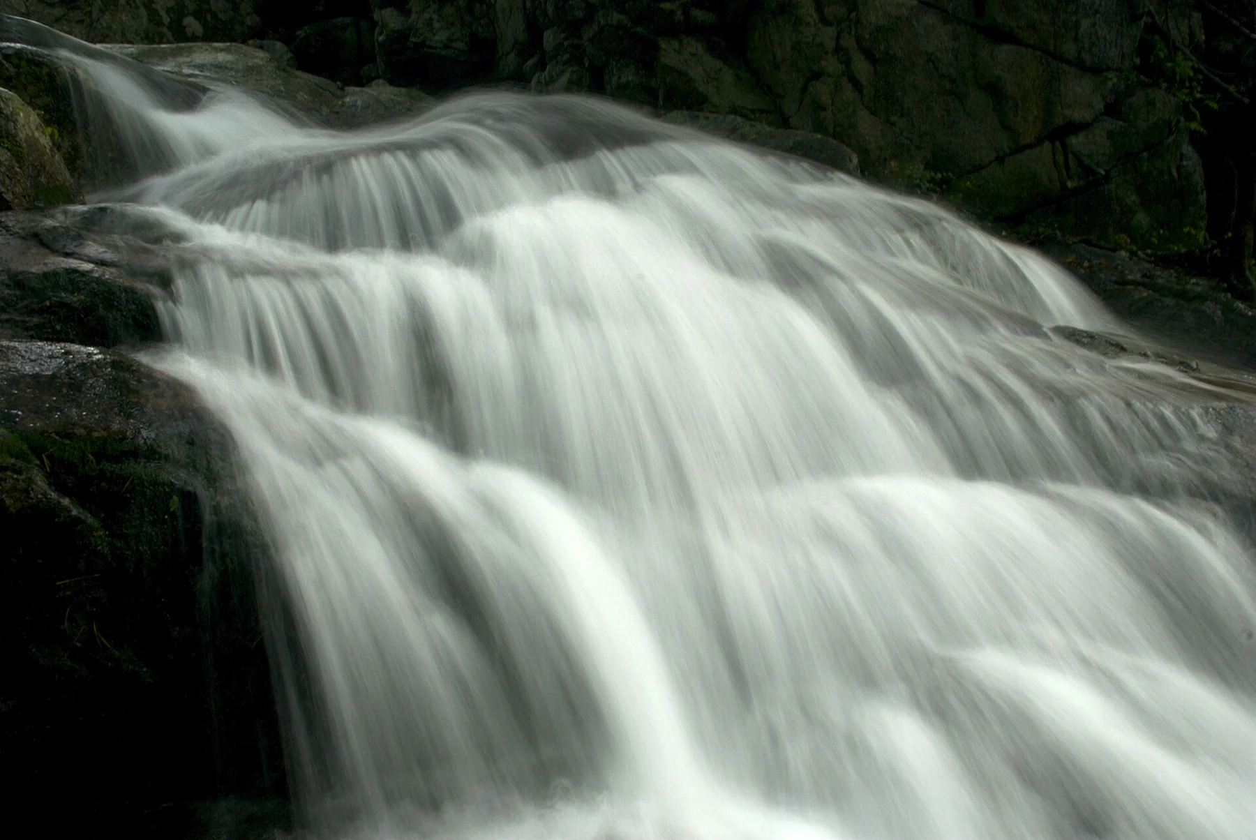
Seorak Falls lies on the Osaek ascent. Flow and footing vary; stay on the marked trail.
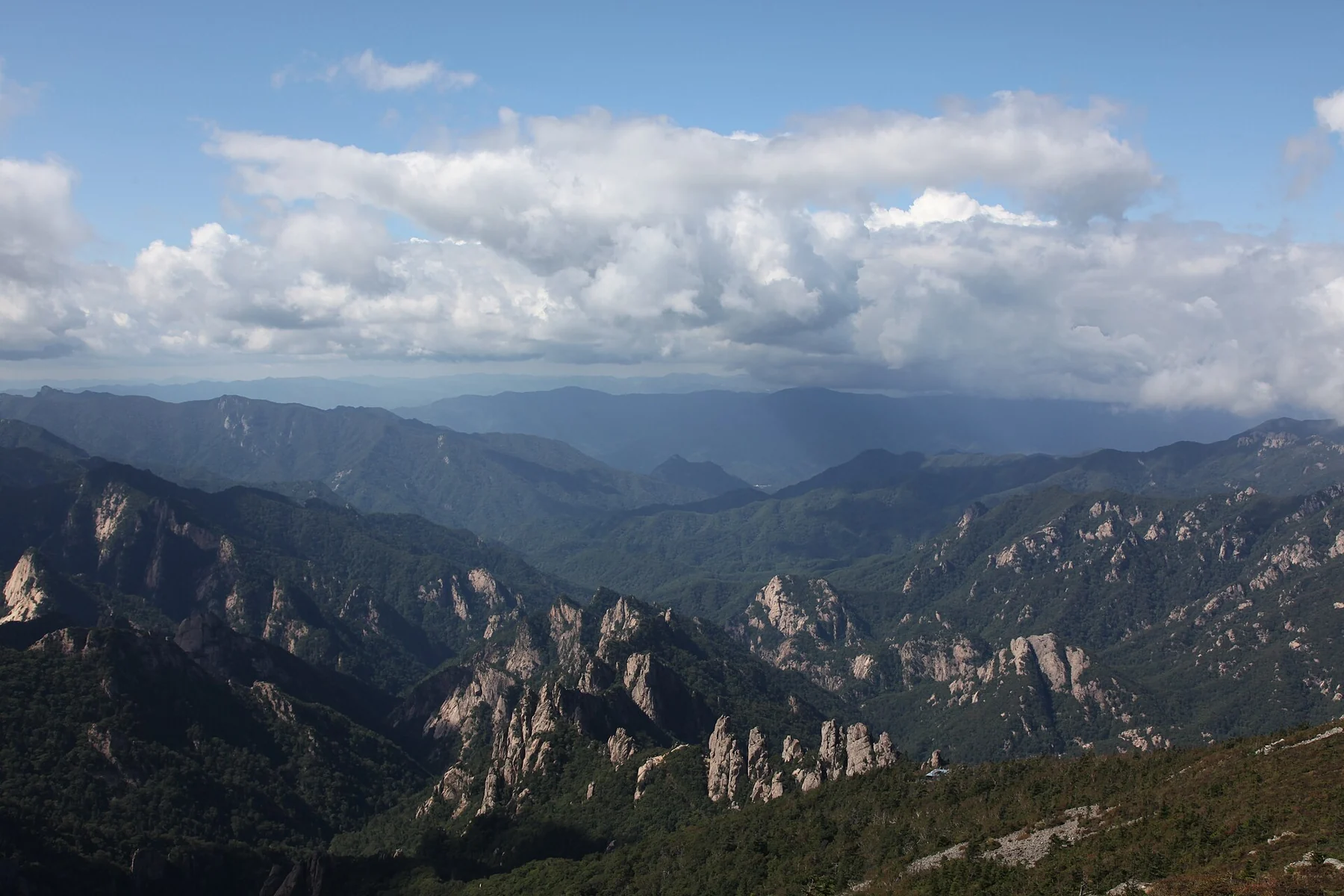
A view from Daecheongbong on a clear day. Weather decides whether you see it; and whether a summit attempt is sensible.
Before you leave
Set up the day.
- Three or more days ahead: book Osaek-area accommodation and verify the route to 남설악탐방지원센터. Arrange arrival and post-hike transport for the actual date; do not bank on an unverified last bus.
- Night before AND morning of: open the official Seoraksan park page for 입산시간지정제 and 탐방로 통제현황, plus the national park forecast. If closed, do not attempt the trail. Save the number for the Seoraksan office from the official site.
- Carry an offline map and charged phone, headlamp, layers, rain protection, traction-appropriate boots, water and substantial trail food for your own needs. Tell someone your route and latest expected check-in. Check sunset and set a turnaround before the first step.
Follow the route
Your plan, in order.
Times are suggested planning anchors. Copy the route, then adjust it for your date, opening hours, and pace.
- Previous evening01
Osaek-area lodging
Use daylight the evening before to find the trailhead, confirm breakfast and the return journey, and pack for a full mountain day. Osaek is on the Yangyang side of Seoraksan; do not book a room in Sokcho assuming it is next to the trailhead.
- Before the legal start02
Namseorak trail support center
Map search: 남설악탐방지원센터
Read the current gate notice and ask a ranger about any closures. Begin only within the date’s permitted entry time. The example below uses a 06:00 start if allowed; change it if your season or conditions require a different plan.
- 06:00–08:00 · example03
Osaek → signed Seorak Falls section
Follow only the marked 대청봉 direction. Use the early part to establish a sustainable climbing pace. Eat before energy drops; do not rely on summit facilities or water refills. If conditions worsen, turn around here rather than committing higher.
- 08:00–10:00 · example04
Upper Osaek route → Daecheongbong approach
The route remains steep; recheck your speed, visibility and footing at each signed junction. This four-hour uphill estimate is the Korea Tourism Organization’s course description, not a guarantee for every party. If you are behind your planned turnaround, descend now.
- By 10:00 · example05
Daecheongbong summit, if safe
Photograph the summit only if safe to stand; eat, add a layer and confirm the descent direction toward Osaek. Keep the summit pause short. If the peak is windy, clouded or crowded, turn around below it; there is no obligation to touch the marker.
- 10:15–14:30 · example06
Retrace Osaek descent
Return on the SAME marked route. Expect the steep rocky downhill to take real attention and potentially more time than a simple distance estimate suggests. Stop for food and adjust layers; if an injury or weather problem arises, follow ranger and emergency-service instructions.
- 14:30–15:30 · example07
Osaek village recovery
Check in with your contact. Eat a real meal, retrieve luggage and use only the onward connection you verified in advance. Keep the evening free; do not stack another demanding hike onto tired legs.
Make it your trip
Useful changes.
- Summit route controlled or bad weather: obey the closure. Ask park staff which lower route is open, or change the day to Osaek village and the next town. Never seek an unofficial side entry.
- Slow uphill: use your pre-set turnaround, not the official four-hour estimate, to preserve daylight for a careful descent.
- Snow, ice, severe wind, heat or low visibility: this fair-weather example is not a winter or extreme-weather itinerary. Replan with relevant equipment, experience and current ranger guidance.
Sources checked September 27, 2026
Verify before you go
Schedules, admission, train availability, restaurant hours, and weather can change. The sources below are the starting points for final checks. Route times are editorial estimates.
- Official 5 km/4 h Osaek climb description ; Korea Tourism Organization (Korean)
- Seoraksan park routes and difficulty ; National Park Service (Korean)
- Entry windows and trail-control notices ; National Park Service (Korean)
- Park forecast and weather advisories ; National Park Service (Korean)
- Osaek location example ; Korea Tourism Organization